

REMOTE SENSING & MAPPING
wildland fires & Natural disasters
A compendium of open data and resources for GIS and academic research.
site: USFS - AIRFIRE - MISC
"The Interagency Wildland Fire Air Quality Response Program (IWFAQRP) was created to directly assess, communicate, and address risks posed by wildland fire smoke to the public as well as fire personnel. The program depends on four primary components: specially trained personnel called Air Resource Advisors, air quality monitoring, smoke concentration and dispersion modeling, and coordination and cooperation with agency partners.
This page provides links to the most recent versions of tools produced by the U.S. Forest Service PNW Research Station's Pacific Wildland Fire Sciences Laboratory in support of the Wildland Fire Air Quality Response Program and wildland fire operations. "
(* sites have own pages on here for more in depth information - click to directly access)
-
-
Aggregated ground monitoring information
-
-
-
Visualize daily smoke forecasts
-
-
-
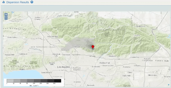
Customized emissions and dispersion modeling. Two versions available
-
-
-
Customized trajectory modeling
-
-
PWFSL Smoke Package
-
Tool for working with air quality monitoring data
-
-
Arctic Transport Potential Forecast
-
Daily forecast analysis of site location potential to reach Arctic
-
-
Ventilation Climate Information System *
-
Climatology of mixing height, transport winds, and ventilation index
-
-
Arctic Transport Potential Climatology
-
Climatology of conditions allowing for transport to the Arctic
-
-
Climatology of Convective Instability
-
Seasonal and monthly maps of atmospheric instability - CAPE
-
-
Downburst Climatology
-
Seasonal and monthly maps of downburst climatology
-


Random Gallery

