

REMOTE SENSING & MAPPING
wildland fires & Natural disasters
A compendium of open data and resources for GIS and academic research.
site: University of Wisconsin-Madison Space Science and Engineering Center - data & imagery
"Data and imagery are at the forefront of SSEC’s research mission. Our Data Center receives, processes and archives data from polar-orbiting and geostationary meteorological satellites operated by the U.S., as well as other meteorological agencies around the world. SSEC scientists use this data, as well as data from ground-based and aircraft-based remote sensing instruments, to create the imagery and products you see below."
-
**NOTE: Not all are currently functional**
-
ABBA: Fire Monitoring
-
AMRC: Antarctic images, Movies, & Weather Data
-
CIMSS Regional Assimilation System Forecast
-
CLAVR-x Near Real-Time Results
-
GOES Derived products
-
Precipitable Water, Lifted Index/CAPE, Cloud Top Pressure, Ozone…
-
Geostationary Weather Satellite Images
-
IREMIS: Global Infrared Land Surface Emissivity Imagery
-
Google Earth Imagery
-
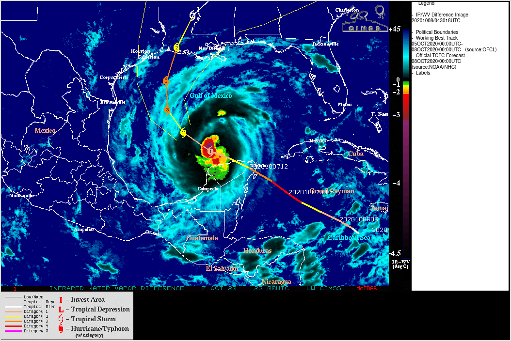
Hurricane and Tropical Storm Images
-
IDEA: Infusing satellite Data into Environmental applications
-
Kalpana Imagery
-
MIMIC-TPW2: Total Precipitable Water
-
MODIS Imagery
-
MODIS Today
-
Mesoscale Winds
-
NWP Satellite Validation - HRRR
-
PDA Animated Weather
-
Real-time Polar Remote Sensing Products
-
RealEarth
-
Reliable Automated Instrumentation Network
-
Satellite Composite Images
-
Sea Surface Temperatures
-
Solar Radiation estimates
-
VIIRS today
-
Volcanic Cloud Monitoring
-
Wisconing and Midwest Weather
-
WxSatS
-
Satellite Data Service
-
Real-Time Data
-
ADDE dataset plans for GOES-15 and GOES-17
-
GOES-17 Transition Plan Information (NOAA)
-
GOES-16 L2 Product Information
-
Fall Eclipse Information
-
AMQPFIND RabbitMQ Messaging Information
-
Real-Time Data Access
-
Satellite Coverages
-
WxSats
-
Polar Orbit Tracks
-
General Satellite Status Information (NOAA)
-
-
Archive Information
-
Online GOES Geostationary Archive
-
Online Non-GOES Geostationary Archive
-
Geostationary Satellite Inventory
-
Satellite Schedules
-
Conventional Data Archive
-
McFetch NEW!
-
The archive is over 1 PB in size, contains data from every GOES satellite and spans 35+ years. In addition, 15 years of international geostationary satellite data are also in the archive.
-
McIDAS AREA, GeoTIFF, and NetCDF.
-
-
Old GOES Schedules
-
-


Random Gallery

